1. Learn what normal looks like
When you sign up we pull up to a year of clear photos and about four months of radar passes for your pin and learn its normal picture, then keep adding to it as new passes arrive.
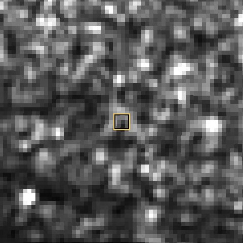
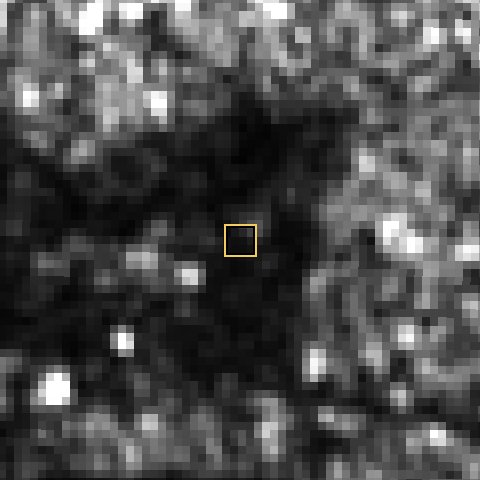
Each image covers about 480 m. The yellow square is the 40 m area we measure around your pin. Photos can only be taken when there's no cloud; radar works through cloud (bright = rough or hard surfaces like walls and roofs, dark = smooth ground, sand fill or water).
Green dots: how green the plot is compared with the land around it (clear photos). Grey line: radar reflection from the plot compared with the land around it. A sudden, lasting jump away from the usual band is what triggers an alert.
Commercial satellites can photograph your plot at 30–50 cm, sharp enough to see a foundation or a stack of blocks. We'll check which images of your plot exist and email you a quote before charging anything.
Questions, or want to cancel? Reply to any Plot Watch email or WhatsApp +1 202 427 3118.
One moment.
Idle Plot Watch · $9 a month or $90 a year
Land grabbers clearing your plot, someone sand-filling it or starting to build on land they think nobody is watching. Plot Watch checks your plot on every radar pass (about every 6–12 days, straight through cloud) and every clear satellite photo, and emails you before and after images if something changes.
Real example · not a mock-up
A plot in the Ibeju-Lekki area of Lagos (pin 6.4478, 3.9604), as Copernicus Sentinel satellites saw it. The yellow square is the 40 m area Plot Watch measures. Each image is about 600 m across.
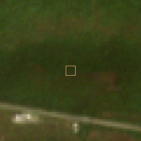
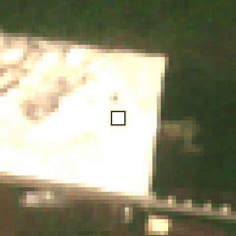
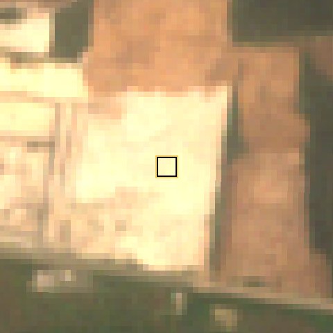
The rainy season hides the ground from ordinary satellite photos for weeks. Radar doesn't need daylight or clear skies. Smooth sand fill shows up as a dark patch where there used to be speckled bush.
We replayed two years of real satellite passes for this pin through the same engine that runs Plot Watch, as if an owner had subscribed in January 2024:
The explanation lines are what the Plot Watch engine produced for this plot's real readings. The AI review is the real, unedited answer Claude (claude-sonnet-4-5) gave when shown this plot's April and October 2024 images and readings. On a live watch it is written fresh for each large alert and can be wrong.
Real readings for the example plot, December 2023 to January 2026. Grey line: radar signal from vegetation on the plot compared with the land around it. Green dots: how green the plot is in clear photos. The short dip in mid-2024 is the rainy season; the sharp, lasting drop from October 2024 is the clearing.
When you sign up we pull up to a year of clear photos and about four months of radar passes for your pin and learn its normal picture, then keep adding to it as new passes arrive.
Every new radar pass and clear photo is compared with that picture and with the land around the plot, so rain and dry-season browning that affect the whole area don't trigger false alarms.
We check NASA rainfall records for the week before every radar pass. Waterlogged ground can fool radar, so a radar-only change in a wet week needs more passes, or a clear photo, before we call it large.
A single odd pass is reported as a "possible change" and re-checked. When the change is confirmed (two passes, or radar and photo agreeing) you get a "large change" alert with before and after images and a plain-English review of what the images most likely show.
Once a month we email how many passes we checked and whether anything changed, so you know the watch is running.
Satellite pixels are about 10 m across, so the watch tells you that something changed on the plot, not exactly what. Every large-change alert gives you three options:
A licensed surveyor (SURCON / GhIS / ISK) visits the plot, photographs it and the corner beacons, and checks them against your survey plan. Written report within 5 business days of receiving the plan.
About the surveyor visitCommercial satellites photograph at 30–50 cm, sharp enough to see a foundation or a stack of blocks. We check which images of your plot exist and quote you before charging anything.
If you cleared, fenced or started building yourself, mark the change as expected. The watch learns the new normal over the next few weeks and carries on.
| Usually caught | Usually missed |
|---|---|
| Clearing or burning bush on the plot | A few blocks or a small pile of sand |
| Sand filling and grading | Beacons being moved or removed |
| A larger new building or roof going up | A shed or container smaller than about 10 m |
| A whole estate or road being cut through the area | Someone selling your plot on paper (a lawyer's title search catches that) |
| The plot flooding or staying waterlogged | Changes on very small plots squeezed between buildings |
For things the satellites can't see, a surveyor visit is the answer. Plot Watch tells you when it's worth sending one.
Paste your plot's GPS pin to see the most recent clear satellite photo and radar image we can find for it.
We look for new passes every few days. Radar passes come about every 6–12 days depending on where the plot is; clear photos are more frequent in the dry season and rare in the rains.
Sometimes. Weather, flooding or a parked truck can make a single pass look different. That's why a single odd pass is only reported as a "possible change", and a "large change" alert needs confirmation. We'd rather tell you and be wrong occasionally than miss someone building on your land. Two extra checks cut false alarms: rainfall records for every radar pass, and an automated review of the before and after images. If the images clearly show something harmless, such as standing water after rain, we send a "possible change" instead of a "large change" and keep watching; a change that persists is always reported.
Ask anyone at the plot (an agent, caretaker, relative or surveyor) to stand in the middle and share their location with you on WhatsApp, then paste the link here. A photo taken on the plot also works if it's sent to you as a file. The "Don't have the pin?" box under the pin field walks you through each way.
No. Plot Watch watches the ground. It can't see title, ownership, or beacons. Use a lawyer for title, and a surveyor visit when the watch shows a change.
Yes, each plot is its own Plot Watch. Message us if you have five or more plots and we'll set them up together.
Reply to any Plot Watch email or WhatsApp us and we'll cancel it straight away; no questions asked.